

Sangamon River Stage
Click for USGS Water Data
Interactive Access Locations
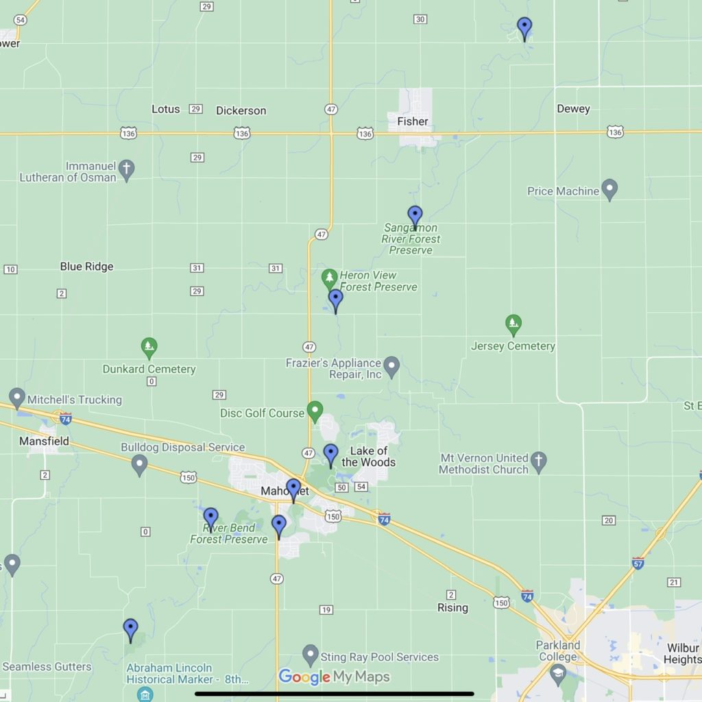
Click image to view in Google Maps
Logjam Location Map
Map location markers are red. Click marker for photo and notes. We are building information on river obstructions on the river. We’ll integrate this into the Access Map soon.

- Temperature
- Precipitation
- Rain Chance
- Wind
Water Safety Resources and Videos
Planning to spend time on the river or a nearby lake? Are you joining us for a paddle trip? Get up to speed on watercraft safety at this site from the US Coast Guard.
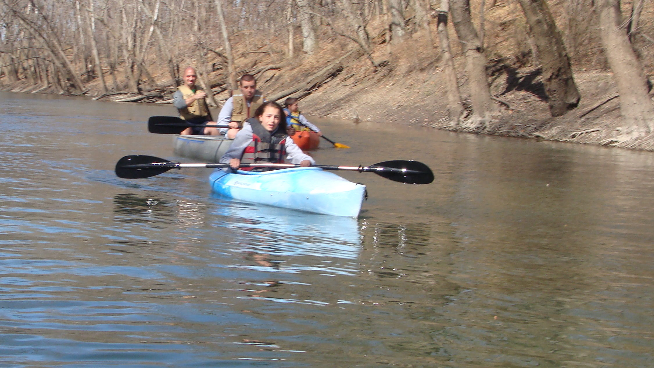
Learn about key safety measures you should take to enjoy a safe experience on the water in a canoe or kayak.
In just 16 minutes of viewing time, you’ll be equipped with basic information regarding preparations, safety guidelines, rules of the road, navigation, and more! You can also take a ten question assessment to see how much you learned.
Paddleboarding? Watch these videos.